Explore the Area
Waiting for the causeway to open, or already missed the window? Gower has plenty more to offer within easy reach of Rhosili — no need to rush the crossing.
If the Causeway Tracker shows Worms Head is closed, or you’d simply like to make more of your visit, these nearby walks are all within a short distance of the Rhosili car park — and every visitor who chooses one of these instead of risking a late crossing is one less potential call-out for the volunteer lifeboat and coastguard crews.
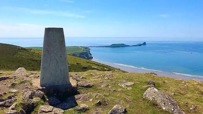
Rhosili Down, Hillend & Beach Walk
A steep climb up the highest point on Gower, past a Bronze Age burial cairn and Neolithic remains, with sweeping views back over Rhosili Bay and the Worm. Descends to the 3-mile beach and the wreck of the Helvetia.
National Trust route guide →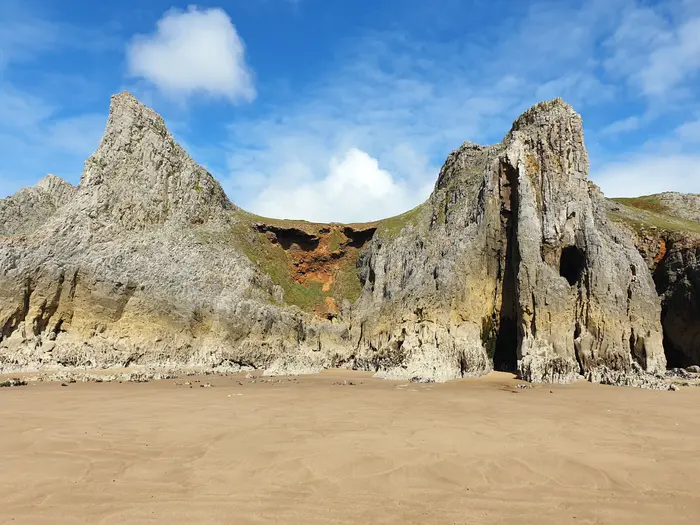
Rhosili to Mewslade Bay
A gentler circular walk passing Iron Age fort remains, medieval field strips, and a clifftop fishing hut, with lovely views back towards Worms Head along the way.
Visit Swansea Bay route guide →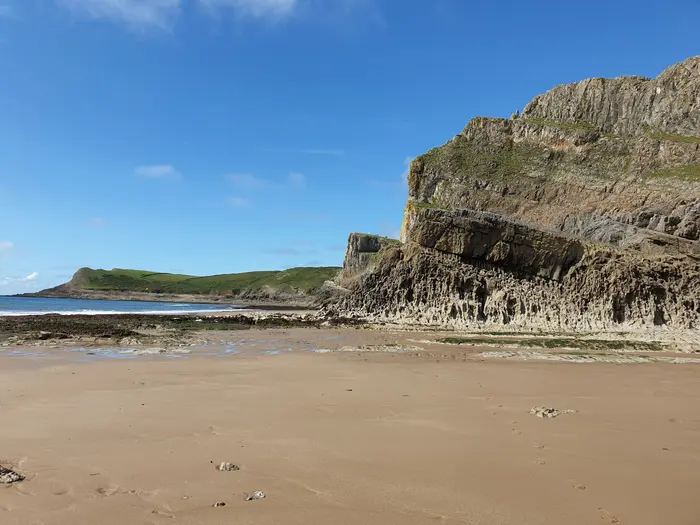
Rhosili to Fall Bay
Follow the track out towards the Worm as far as our lookout, then turn left along the clifftop path to Fall Bay, a secluded sandy cove beneath honeycombed limestone cliffs. It's popular with rock climbers, so you may spot some on the crags above. Return the same way.
Route write-up (follow it as far as Fall Bay) →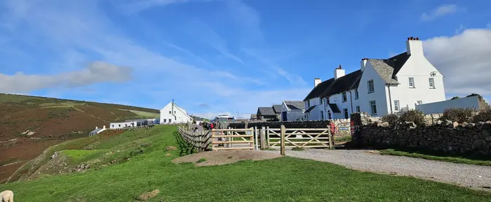
Rhosili to Port Eynon (Wales Coast Path)
A longer day out along the Wales Coast Path: from Rhosili, follow the wild limestone clifftops east past Fall Bay and Mewslade to the sandy bay and village at Port Eynon. Mostly gentle clifftop path with sea views all the way. It's one way, so check the South Gower bus times between Port Eynon and Rhosili before you set off — or take the bus out and walk back towards the Worm.
Saturday Walkers' Club route guide →Burry Holms: Gower’s Other Tidal Island
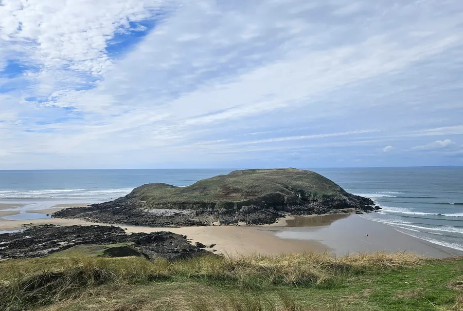
At the far northern end of Rhosili Bay, off Llangennith beach, Burry Holms is a small tidal island — and, like the Worm, it is cut off by the sea as the tide rises. From the top there are some of the best views in the area: the whole three-mile sweep of Rhosili beach down to Worms Head, and west across Carmarthen Bay.
It’s a place with a long history. Stone Age hunters camped here around 9,000 years ago, there are traces of an Iron Age earthwork across the island, and the ruins of a medieval chapel, traditionally linked with St Cenydd, the hermit who gave his name to nearby Llangennith. In spring and summer it’s covered in thrift and sea campion.
Museum Wales: Stone Age Burry Holms →Around Rhosili
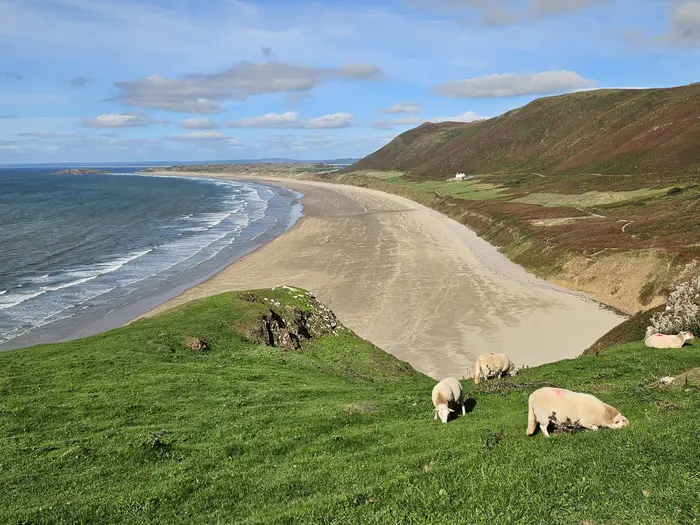
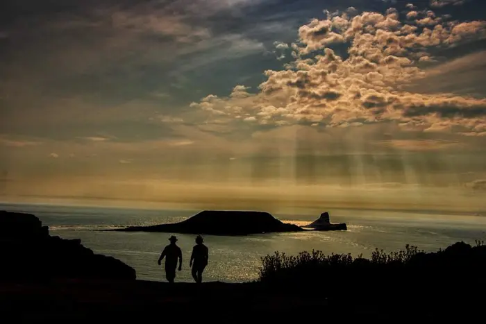 Photo courtesy of Ifor Jacobs
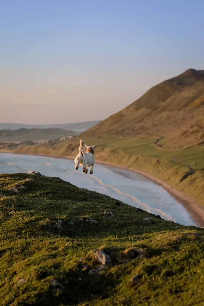 Photo courtesy of Donna Jones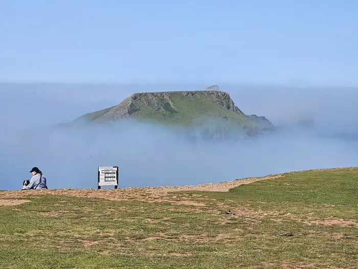
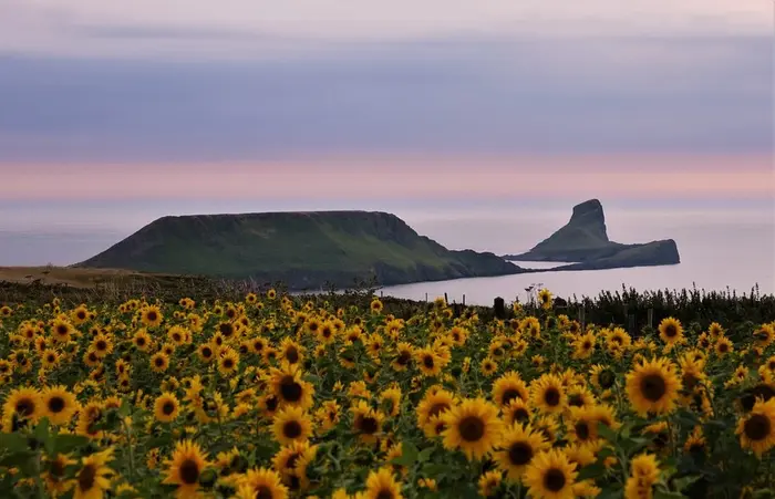
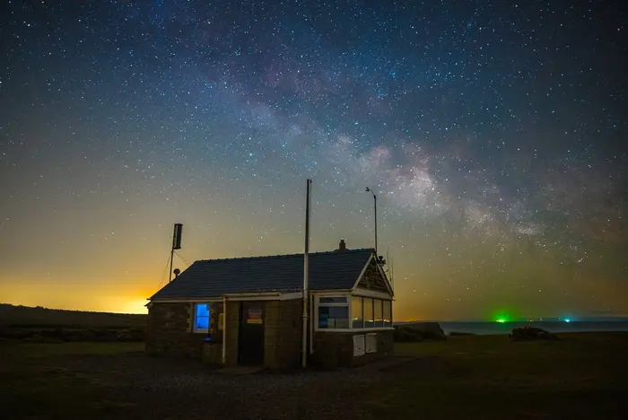 Photo courtesy of Jeffrey Moreau
Heading out onto Worms Head itself? Check the live status and read our full route guide first.
Walking the Worm Guide →